
芦淞区 topographic map
Interactive map
Click on the map to display elevation.
About this map
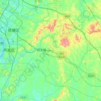
Name: 芦淞区 topographic map, elevation, terrain.
Location: 芦淞区, 株洲市, 湖南省, 412008, 中国 (27.74743 113.10871 27.88180 113.35685)
Average elevation: 89 m
Minimum elevation: 24 m
Maximum elevation: 296 m
Other topographic maps
Click on a map to view its topography, its elevation and its terrain.