
祁阳市 topographic map
Interactive map
Click on the map to display elevation.
About this map
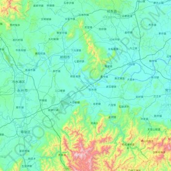
Name: 祁阳市 topographic map, elevation, terrain.
Location: 祁阳市, 永州市, 湖南省, 中国 (26.03697 111.58461 26.85210 112.23988)
Average elevation: 251 m
Minimum elevation: 54 m
Maximum elevation: 1,568 m
Other topographic maps
Click on a map to view its topography, its elevation and its terrain.