
双溪口镇 topographic map
Interactive map
Click on the map to display elevation.
About this map
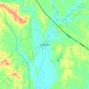
Name: 双溪口镇 topographic map, elevation, terrain.
Location: 双溪口镇, 桃源县, 湖南省, 中国 (29.21241 111.33160 29.29241 111.41160)
Average elevation: 81 m
Minimum elevation: 54 m
Maximum elevation: 138 m
Other topographic maps
Click on a map to view its topography, its elevation and its terrain.