
双峰县 topographic map
Interactive map
Click on the map to display elevation.
About this map
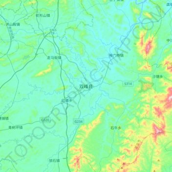
Name: 双峰县 topographic map, elevation, terrain.
Location: 双峰县, 娄底市, 湖南省, 中国 (27.29838 112.01035 27.61838 112.33035)
Average elevation: 169 m
Minimum elevation: 62 m
Maximum elevation: 748 m
Other topographic maps
Click on a map to view its topography, its elevation and its terrain.