
芷江镇 topographic map
Interactive map
Click on the map to display elevation.
About this map
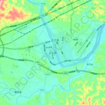
Name: 芷江镇 topographic map, elevation, terrain.
Location: 芷江镇, 芷江侗族自治县, 怀化市, 湖南省, 中国 (27.39711 109.63789 27.47711 109.71789)
Average elevation: 273 m
Minimum elevation: 233 m
Maximum elevation: 399 m
Other topographic maps
Click on a map to view its topography, its elevation and its terrain.