
兰里镇 topographic map
Interactive map
Click on the map to display elevation.
About this map
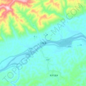
Name: 兰里镇 topographic map, elevation, terrain.
Location: 兰里镇, 麻阳苗族自治县, 怀化市, 湖南省, 中国 (27.84750 109.88000 27.92750 109.96000)
Average elevation: 236 m
Minimum elevation: 129 m
Maximum elevation: 634 m
Other topographic maps
Click on a map to view its topography, its elevation and its terrain.