
桐木 topographic map
Interactive map
Click on the map to display elevation.
About this map
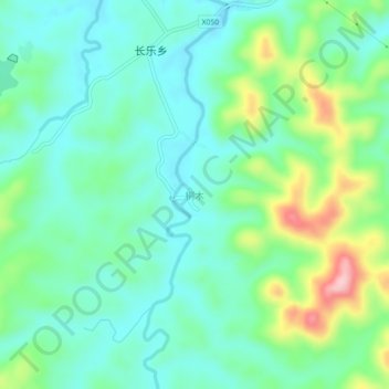
Name: 桐木 topographic map, elevation, terrain.
Location: 桐木, 邵阳县, 邵阳市, 湖南省, 中国 (26.96155 111.06847 27.00155 111.10847)
Average elevation: 300 m
Minimum elevation: 249 m
Maximum elevation: 437 m
Other topographic maps
Click on a map to view its topography, its elevation and its terrain.