
茶陵县 topographic map
Interactive map
Click on the map to display elevation.
About this map
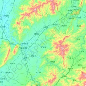
Name: 茶陵县 topographic map, elevation, terrain.
Location: 茶陵县, 株洲市, 湖南省, 中国 (26.50724 113.35041 27.12614 113.92125)
Average elevation: 320 m
Minimum elevation: 66 m
Maximum elevation: 1,378 m
Other topographic maps
Click on a map to view its topography, its elevation and its terrain.