
沙市镇 topographic map
Interactive map
Click on the map to display elevation.
About this map
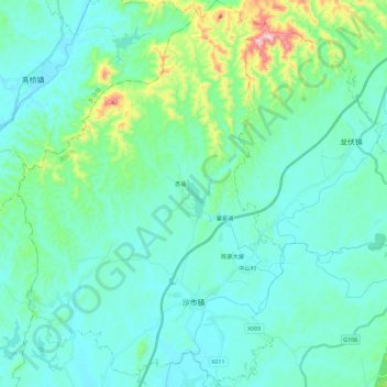
Name: 沙市镇 topographic map, elevation, terrain.
Location: 沙市镇, 浏阳市, 长沙市, 湖南省, 中国 (28.30345 113.32154 28.50473 113.47997)
Average elevation: 127 m
Minimum elevation: 52 m
Maximum elevation: 521 m
Other topographic maps
Click on a map to view its topography, its elevation and its terrain.