
良田镇 topographic map
Interactive map
Click on the map to display elevation.
About this map
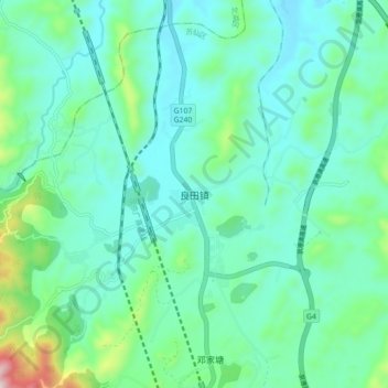
Name: 良田镇 topographic map, elevation, terrain.
Location: 良田镇, 苏仙区, 郴州市, 湖南省, 中国 (25.58171 112.96467 25.66171 113.04467)
Average elevation: 325 m
Minimum elevation: 211 m
Maximum elevation: 804 m
Other topographic maps
Click on a map to view its topography, its elevation and its terrain.