
凤凰县 topographic map
Interactive map
Click on the map to display elevation.
About this map
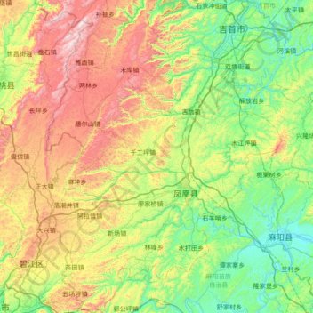
Name: 凤凰县 topographic map, elevation, terrain.
Location: 凤凰县, 湘西土家族苗族自治州, 湖南省, 416200, 中国 (27.72252 109.29246 28.31866 109.80107)
Average elevation: 497 m
Minimum elevation: 138 m
Maximum elevation: 1,222 m
Other topographic maps
Click on a map to view its topography, its elevation and its terrain.