
湘江村四村 topographic map
Interactive map
Click on the map to display elevation.
About this map
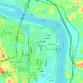
Name: 湘江村四村 topographic map, elevation, terrain.
Location: 湘江村四村, 雁峰区, 衡阳市, 湖南省, 中国 (26.83568 112.63047 26.87568 112.67047)
Average elevation: 66 m
Minimum elevation: 48 m
Maximum elevation: 112 m
Other topographic maps
Click on a map to view its topography, its elevation and its terrain.