
城门口 topographic map
Interactive map
Click on the map to display elevation.
About this map
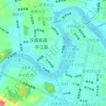
Name: 城门口 topographic map, elevation, terrain.
Location: 城门口, 碧潭新村, 骋望园, 民建路社区, 汉昌街道, 平江县, 岳阳市, 湖南省, 中国 (28.69370 113.56930 28.71370 113.58930)
Average elevation: 82 m
Minimum elevation: 63 m
Maximum elevation: 167 m