
狮子山街道 topographic map
Interactive map
Click on the map to display elevation.
About this map
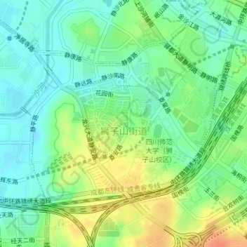
Name: 狮子山街道 topographic map, elevation, terrain.
Location: 狮子山街道, 锦江区, 成都市, 四川省, 中国 (30.60657 104.10362 30.62451 104.13307)
Average elevation: 502 m
Minimum elevation: 485 m
Maximum elevation: 528 m
Other topographic maps
Click on a map to view its topography, its elevation and its terrain.