
书院街街道 topographic map
Interactive map
Click on the map to display elevation.
About this map
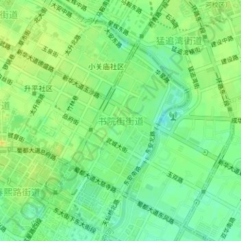
Name: 书院街街道 topographic map, elevation, terrain.
Location: 书院街街道, 锦江区, 成都市, 四川省, 610017, 中国 (30.65584 104.07288 30.67248 104.09411)
Average elevation: 501 m
Minimum elevation: 489 m
Maximum elevation: 511 m
Other topographic maps
Click on a map to view its topography, its elevation and its terrain.