
双桥子街道 topographic map
Interactive map
Click on the map to display elevation.
About this map
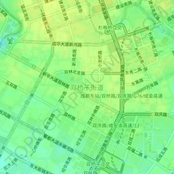
Name: 双桥子街道 topographic map, elevation, terrain.
Location: 双桥子街道, 成华区, 成都市, 四川省, 中国 (30.64574 104.09349 30.66926 104.11241)
Average elevation: 499 m
Minimum elevation: 489 m
Maximum elevation: 504 m
Other topographic maps
Click on a map to view its topography, its elevation and its terrain.