
跳蹬河街道 topographic map
Interactive map
Click on the map to display elevation.
About this map
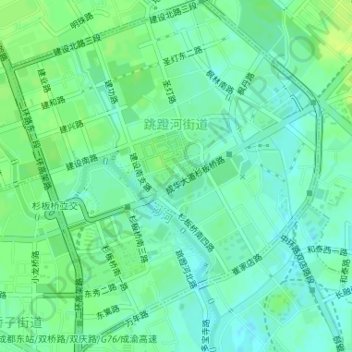
Name: 跳蹬河街道 topographic map, elevation, terrain.
Location: 跳蹬河街道, 成华区, 成都市, 四川省, 610051, 中国 (30.65508 104.10597 30.68316 104.13477)
Average elevation: 500 m
Minimum elevation: 493 m
Maximum elevation: 507 m
Other topographic maps
Click on a map to view its topography, its elevation and its terrain.