
青龙街道 topographic map
Interactive map
Click on the map to display elevation.
About this map
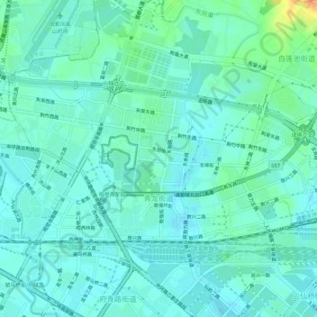
Name: 青龙街道 topographic map, elevation, terrain.
Location: 青龙街道, 成华区, 成都市, 四川省, 610081, 中国 (30.69965 104.08564 30.72280 104.13681)
Average elevation: 507 m
Minimum elevation: 498 m
Maximum elevation: 537 m
Other topographic maps
Click on a map to view its topography, its elevation and its terrain.