
白莲池街道 topographic map
Interactive map
Click on the map to display elevation.
About this map
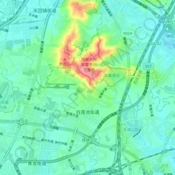
Name: 白莲池街道 topographic map, elevation, terrain.
Location: 白莲池街道, 成华区, 成都市, 四川省, 中国 (30.71609 104.08616 30.75251 104.16315)
Average elevation: 513 m
Minimum elevation: 491 m
Maximum elevation: 590 m
Other topographic maps
Click on a map to view its topography, its elevation and its terrain.