
玉林街道 topographic map
Interactive map
Click on the map to display elevation.
About this map
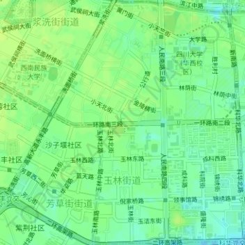
Name: 玉林街道 topographic map, elevation, terrain.
Location: 玉林街道, 武侯区, 成都市, 四川省, 610000, 中国 (30.62247 104.04977 30.64938 104.07447)
Average elevation: 498 m
Minimum elevation: 490 m
Maximum elevation: 503 m
Other topographic maps
Click on a map to view its topography, its elevation and its terrain.