
草市街街道 topographic map
Interactive map
Click on the map to display elevation.
About this map
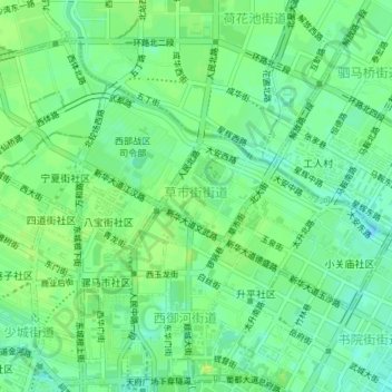
Name: 草市街街道 topographic map, elevation, terrain.
Location: 草市街街道, 青羊区, 成都市, 四川省, 中国 (30.66656 104.05027 30.68491 104.08724)
Average elevation: 504 m
Minimum elevation: 495 m
Maximum elevation: 511 m
Other topographic maps
Click on a map to view its topography, its elevation and its terrain.