
望江路街道 topographic map
Interactive map
Click on the map to display elevation.
About this map
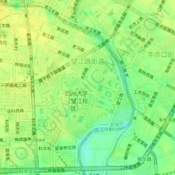
Name: 望江路街道 topographic map, elevation, terrain.
Location: 望江路街道, 武侯区, 成都市, 四川省, 中国 (30.62284 104.07249 30.64817 104.09175)
Average elevation: 494 m
Minimum elevation: 481 m
Maximum elevation: 501 m
Other topographic maps
Click on a map to view its topography, its elevation and its terrain.