
光华街道 topographic map
Interactive map
Click on the map to display elevation.
About this map
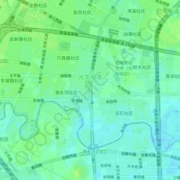
Name: 光华街道 topographic map, elevation, terrain.
Location: 光华街道, 青羊区, 成都市, 四川省, 中国 (30.65477 103.98285 30.67637 104.01957)
Average elevation: 506 m
Minimum elevation: 500 m
Maximum elevation: 510 m
Other topographic maps
Click on a map to view its topography, its elevation and its terrain.