
晋阳街道 topographic map
Interactive map
Click on the map to display elevation.
About this map
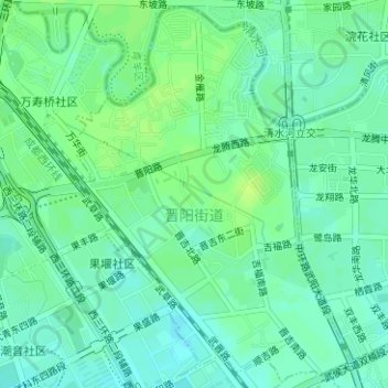
Name: 晋阳街道 topographic map, elevation, terrain.
Location: 晋阳街道, 武侯区, 成都市, 四川省, 610045, 中国 (30.63745 103.98863 30.66360 104.01108)
Average elevation: 503 m
Minimum elevation: 497 m
Maximum elevation: 510 m
Other topographic maps
Click on a map to view its topography, its elevation and its terrain.