
簇桥街道 topographic map
Interactive map
Click on the map to display elevation.
About this map
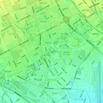
Name: 簇桥街道 topographic map, elevation, terrain.
Location: 簇桥街道, 武侯区, 成都市, 四川省, 中国 (30.59477 103.95869 30.64098 104.00563)
Average elevation: 497 m
Minimum elevation: 487 m
Maximum elevation: 506 m
Other topographic maps
Click on a map to view its topography, its elevation and its terrain.