
草堂街道 topographic map
Interactive map
Click on the map to display elevation.
About this map
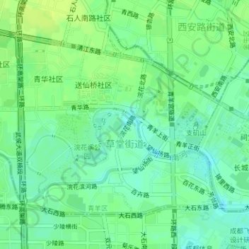
Name: 草堂街道 topographic map, elevation, terrain.
Location: 草堂街道, 青羊区, 成都市, 武侯区, 四川省, 610072, 中国 (30.65334 104.01910 30.67275 104.04460)
Average elevation: 503 m
Minimum elevation: 495 m
Maximum elevation: 510 m
Other topographic maps
Click on a map to view its topography, its elevation and its terrain.