
黄田坝街道 topographic map
Interactive map
Click on the map to display elevation.
About this map
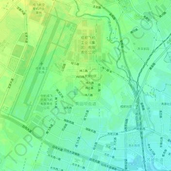
Name: 黄田坝街道 topographic map, elevation, terrain.
Location: 黄田坝街道, 青羊区, 成都市, 四川省, 中国 (30.67657 103.93996 30.71797 103.97761)
Average elevation: 516 m
Minimum elevation: 507 m
Maximum elevation: 525 m
Other topographic maps
Click on a map to view its topography, its elevation and its terrain.