
文家街道 topographic map
Interactive map
Click on the map to display elevation.
About this map
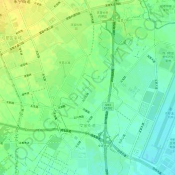
Name: 文家街道 topographic map, elevation, terrain.
Location: 文家街道, 青羊区, 成都市, 四川省, 中国 (30.68955 103.91463 30.72666 103.96649)
Average elevation: 525 m
Minimum elevation: 514 m
Maximum elevation: 536 m
Other topographic maps
Click on a map to view its topography, its elevation and its terrain.