
同乐村 topographic map
Interactive map
Click on the map to display elevation.
About this map
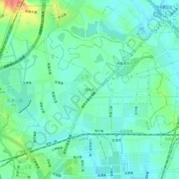
Name: 同乐村 topographic map, elevation, terrain.
Location: 同乐村, 龙潭街道, 成华区, 成都市, 四川省, 中国 (30.70102 104.15087 30.74102 104.19087)
Average elevation: 504 m
Minimum elevation: 490 m
Maximum elevation: 545 m
Other topographic maps
Click on a map to view its topography, its elevation and its terrain.