
天回镇街道 topographic map
Interactive map
Click on the map to display elevation.
About this map
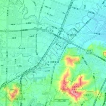
Name: 天回镇街道 topographic map, elevation, terrain.
Location: 天回镇街道, 金牛区, 成都市, 四川省, 中国 (30.73072 104.05193 30.80961 104.13901)
Average elevation: 508 m
Minimum elevation: 486 m
Maximum elevation: 590 m
Other topographic maps
Click on a map to view its topography, its elevation and its terrain.