
红牌楼街道 topographic map
Interactive map
Click on the map to display elevation.
About this map
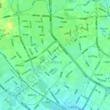
Name: 红牌楼街道 topographic map, elevation, terrain.
Location: 红牌楼街道, 武侯区, 成都市, 四川省, 中国 (30.62051 104.00608 30.65988 104.03595)
Average elevation: 501 m
Minimum elevation: 493 m
Maximum elevation: 510 m
Other topographic maps
Click on a map to view its topography, its elevation and its terrain.