
蔡桥街道 topographic map
Interactive map
Click on the map to display elevation.
About this map
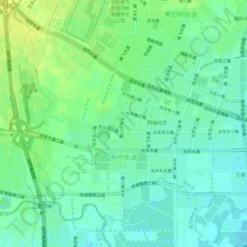
Name: 蔡桥街道 topographic map, elevation, terrain.
Location: 蔡桥街道, 青羊区, 成都市, 四川省, 中国 (30.65703 103.93001 30.69441 103.97502)
Average elevation: 513 m
Minimum elevation: 505 m
Maximum elevation: 522 m
Other topographic maps
Click on a map to view its topography, its elevation and its terrain.