
康河街道 topographic map
Interactive map
Click on the map to display elevation.
About this map
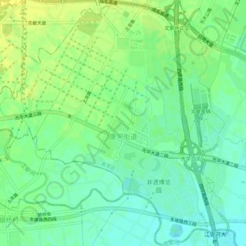
Name: 康河街道 topographic map, elevation, terrain.
Location: 康河街道, 青羊区, 成都市, 高新区(西区), 四川省, 中国 (30.66113 103.89429 30.69718 103.93649)
Average elevation: 518 m
Minimum elevation: 509 m
Maximum elevation: 527 m
Other topographic maps
Click on a map to view its topography, its elevation and its terrain.