
红庙镇 topographic map
Interactive map
Click on the map to display elevation.
About this map
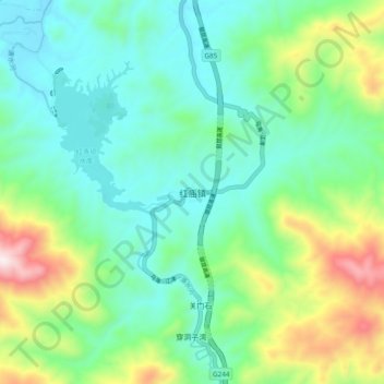
Name: 红庙镇 topographic map, elevation, terrain.
Location: 红庙镇, 南郑区, 汉中市, 陕西省, 中国 (32.82413 106.87435 32.90413 106.95435)
Average elevation: 791 m
Minimum elevation: 593 m
Maximum elevation: 1,327 m
Other topographic maps
Click on a map to view its topography, its elevation and its terrain.