
三岔湾 topographic map
Interactive map
Click on the map to display elevation.
About this map
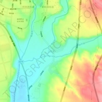
Name: 三岔湾 topographic map, elevation, terrain.
Location: 三岔湾, 榆林市, 陕西省, 中国 (38.19120 109.75747 38.23120 109.79747)
Average elevation: 1,043 m
Minimum elevation: 987 m
Maximum elevation: 1,123 m
Other topographic maps
Click on a map to view its topography, its elevation and its terrain.