
四季镇 topographic map
Interactive map
Click on the map to display elevation.
About this map
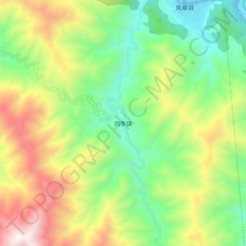
Name: 四季镇 topographic map, elevation, terrain.
Location: 四季镇, 安康市, 陕西省, 中国 (32.23565 108.83093 32.31565 108.91093)
Average elevation: 1,045 m
Minimum elevation: 405 m
Maximum elevation: 2,055 m
Other topographic maps
Click on a map to view its topography, its elevation and its terrain.