
龙州丹霞(学方梁) topographic map
Interactive map
Click on the map to display elevation.
About this map
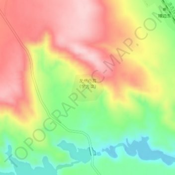
Name: 龙州丹霞(学方梁) topographic map, elevation, terrain.
Location: 龙州丹霞(学方梁), 靖边县, 榆林市, 陕西省, 中国 (37.56332 109.01484 37.56760 109.02126)
Average elevation: 1,326 m
Minimum elevation: 1,210 m
Maximum elevation: 1,433 m