
金鸡滩镇 topographic map
Interactive map
Click on the map to display elevation.
About this map
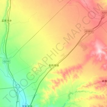
Name: 金鸡滩镇 topographic map, elevation, terrain.
Location: 金鸡滩镇, 榆阳区, 榆林市, 陕西省, 中国 (38.38916 109.68210 38.63234 109.93534)
Average elevation: 1,224 m
Minimum elevation: 1,099 m
Maximum elevation: 1,386 m
Other topographic maps
Click on a map to view its topography, its elevation and its terrain.