
白鹿原 topographic map
Interactive map
Click on the map to display elevation.
About this map
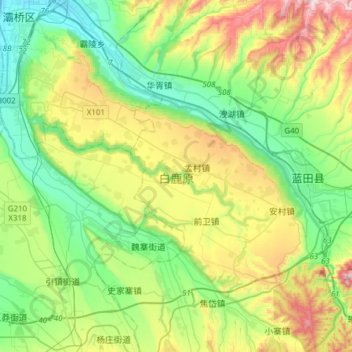
Name: 白鹿原 topographic map, elevation, terrain.
Location: 白鹿原, 蓝田县, 西安市, 陕西省, 中国 (34.03093 109.05904 34.28572 109.34195)
Average elevation: 624 m
Minimum elevation: 402 m
Maximum elevation: 1,095 m
Other topographic maps
Click on a map to view its topography, its elevation and its terrain.