
三元梁 topographic map
Interactive map
Click on the map to display elevation.
About this map
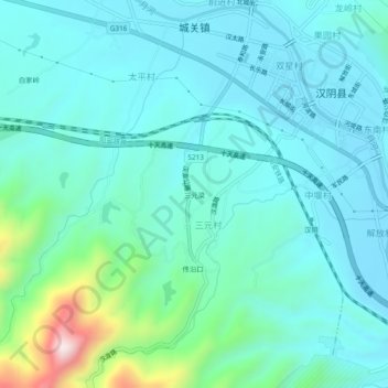
Name: 三元梁 topographic map, elevation, terrain.
Location: 三元梁, 汉阴县, 安康市, 陕西省, 725100, 中国 (32.86172 108.46785 32.90172 108.50785)
Average elevation: 444 m
Minimum elevation: 348 m
Maximum elevation: 910 m
Other topographic maps
Click on a map to view its topography, its elevation and its terrain.