
东关 topographic map
Interactive map
Click on the map to display elevation.
About this map
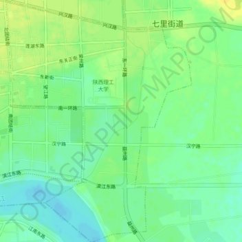
Name: 东关 topographic map, elevation, terrain.
Location: 东关, 汉台区, 汉中市, 陕西省, 中国 (33.04891 107.03221 33.08170 107.06228)
Average elevation: 508 m
Minimum elevation: 498 m
Maximum elevation: 519 m
Other topographic maps
Click on a map to view its topography, its elevation and its terrain.