
广佛镇 topographic map
Interactive map
Click on the map to display elevation.
About this map
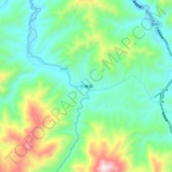
Name: 广佛镇 topographic map, elevation, terrain.
Location: 广佛镇, 安康市, 陕西省, 中国 (32.20160 109.32209 32.28160 109.40209)
Average elevation: 894 m
Minimum elevation: 581 m
Maximum elevation: 1,700 m
Other topographic maps
Click on a map to view its topography, its elevation and its terrain.