
李家河 topographic map
Interactive map
Click on the map to display elevation.
About this map
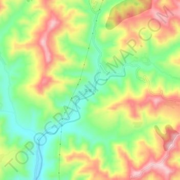
Name: 李家河 topographic map, elevation, terrain.
Location: 李家河, 宝鸡市, 陕西省, 中国 (35.02164 106.85433 35.06164 106.89433)
Average elevation: 1,184 m
Minimum elevation: 1,060 m
Maximum elevation: 1,330 m
Other topographic maps
Click on a map to view its topography, its elevation and its terrain.