
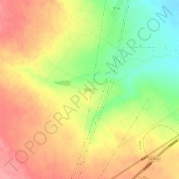
野鸡河 topographic map
Interactive map
Click on the map to display elevation.
About this map
Name: 野鸡河 topographic map, elevation, terrain.
Location: 野鸡河, 榆林市, 陕西省, 中国 (38.60539 109.91890 38.64539 109.95890)
Average elevation: 1,272 m
Minimum elevation: 1,215 m
Maximum elevation: 1,317 m
Other topographic maps
Click on a map to view its topography, its elevation and its terrain.