
阜川镇 topographic map
Interactive map
Click on the map to display elevation.
About this map
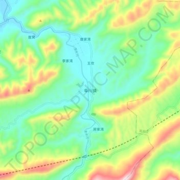
Name: 阜川镇 topographic map, elevation, terrain.
Location: 阜川镇, 勉县, 汉中市, 陕西省, 中国 (32.96659 106.65210 33.04659 106.73210)
Average elevation: 803 m
Minimum elevation: 585 m
Maximum elevation: 1,244 m
Other topographic maps
Click on a map to view its topography, its elevation and its terrain.