
草堂街道 topographic map
Interactive map
Click on the map to display elevation.
About this map
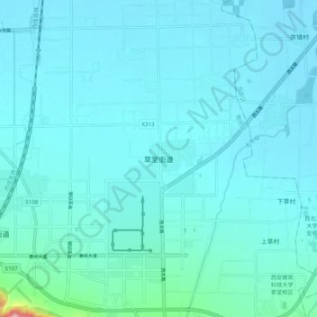
Name: 草堂街道 topographic map, elevation, terrain.
Location: 草堂街道, 西安市, 陕西省, 中国 (34.00769 108.67187 34.08769 108.75187)
Average elevation: 439 m
Minimum elevation: 413 m
Maximum elevation: 724 m
Other topographic maps
Click on a map to view its topography, its elevation and its terrain.