
东北 topographic map
Interactive map
Click on the map to display elevation.
About this map
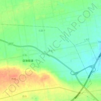
Name: 东北 topographic map, elevation, terrain.
Location: 东北, 咸阳市, 陕西省, 中国 (34.41342 108.53024 34.45342 108.57024)
Average elevation: 518 m
Minimum elevation: 500 m
Maximum elevation: 542 m
Other topographic maps
Click on a map to view its topography, its elevation and its terrain.