
永陵镇 topographic map
Interactive map
Click on the map to display elevation.
About this map
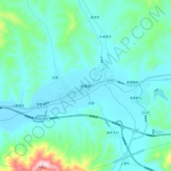
Name: 永陵镇 topographic map, elevation, terrain.
Location: 永陵镇, 新宾满族自治县, 抚顺市, 辽宁省, 113200, 中国 (41.66878 124.78263 41.74878 124.86263)
Average elevation: 337 m
Minimum elevation: 259 m
Maximum elevation: 763 m
Other topographic maps
Click on a map to view its topography, its elevation and its terrain.