
大长山岛镇 topographic map
Interactive map
Click on the map to display elevation.
About this map
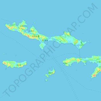
Name: 大长山岛镇 topographic map, elevation, terrain.
Location: 大长山岛镇, 长海县, 大连市, 辽宁省, 116500, 中国 (39.19879 122.48751 39.30701 122.71567)
Average elevation: 3 m
Minimum elevation: -2 m
Maximum elevation: 117 m
Other topographic maps
Click on a map to view its topography, its elevation and its terrain.