
大张村 topographic map
Interactive map
Click on the map to display elevation.
About this map
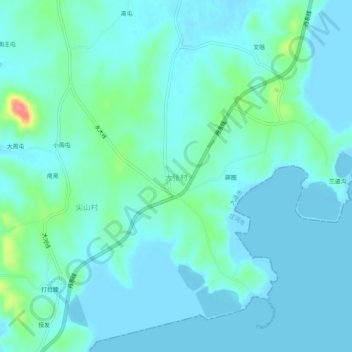
Name: 大张村 topographic map, elevation, terrain.
Location: 大张村, 庄河市, 大连市, 辽宁省, 中国 (39.47894 122.58854 39.51894 122.62854)
Average elevation: 12 m
Minimum elevation: -1 m
Maximum elevation: 77 m
Other topographic maps
Click on a map to view its topography, its elevation and its terrain.